Until February 27th
- Free shipping!
- In orders of Green coffee over 2.500€.


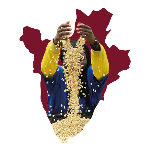
Burundi is located in the Rift Valley with aañostopography, its main geographic feature is the ridge of the Nilo-Congo basin that serves as a divide with Rwanda. The water of the Nile is one of the favoring factors in the coffee production process, and the development of cherries. Burundi has an area of 27,830 km² inhabited by more than 11.89 million inhabitants.
The soils where coffee is grown in Burundi are volcanic and rich in nutrients such as nitrogen, which favors the absorption and maintenance of water. volcanic and rich in nutrients such as nitrogen, which favors the absorption and maintenance of water. The country’s climate is equatorial, its temperatures are governed according to the altitude of the area, and the average annual temperature is 21º C except in the highlands where they are around 12º-18º C. Rainfall in the country reaches 1,200 mm per year, these climatic phenomena are reflected in the coffee crops, since they benefit from both the rains and the warm temperatures for their good development.
Burundi faces the economic future by increasing the production of specialty coffees and improving its productivity. Currently 98% of the coffee production in Burundi is of the arabica species and 2% of the robusta species.

The coffee growing region of Ruvubu has 5 coffee growing districts, including Muyinga, Kirundi and Ruyigi. Ruvubu is home to more than 2.25 million inhabitants and covers an area of 9,300 km². 100% of the production is of the Arabica species and of the Bourbon Red varietal, Ruvubu is the secondlargest coffee growing region in the country.